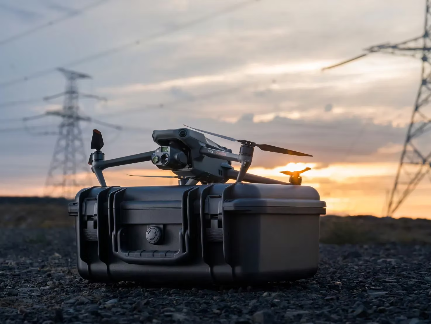
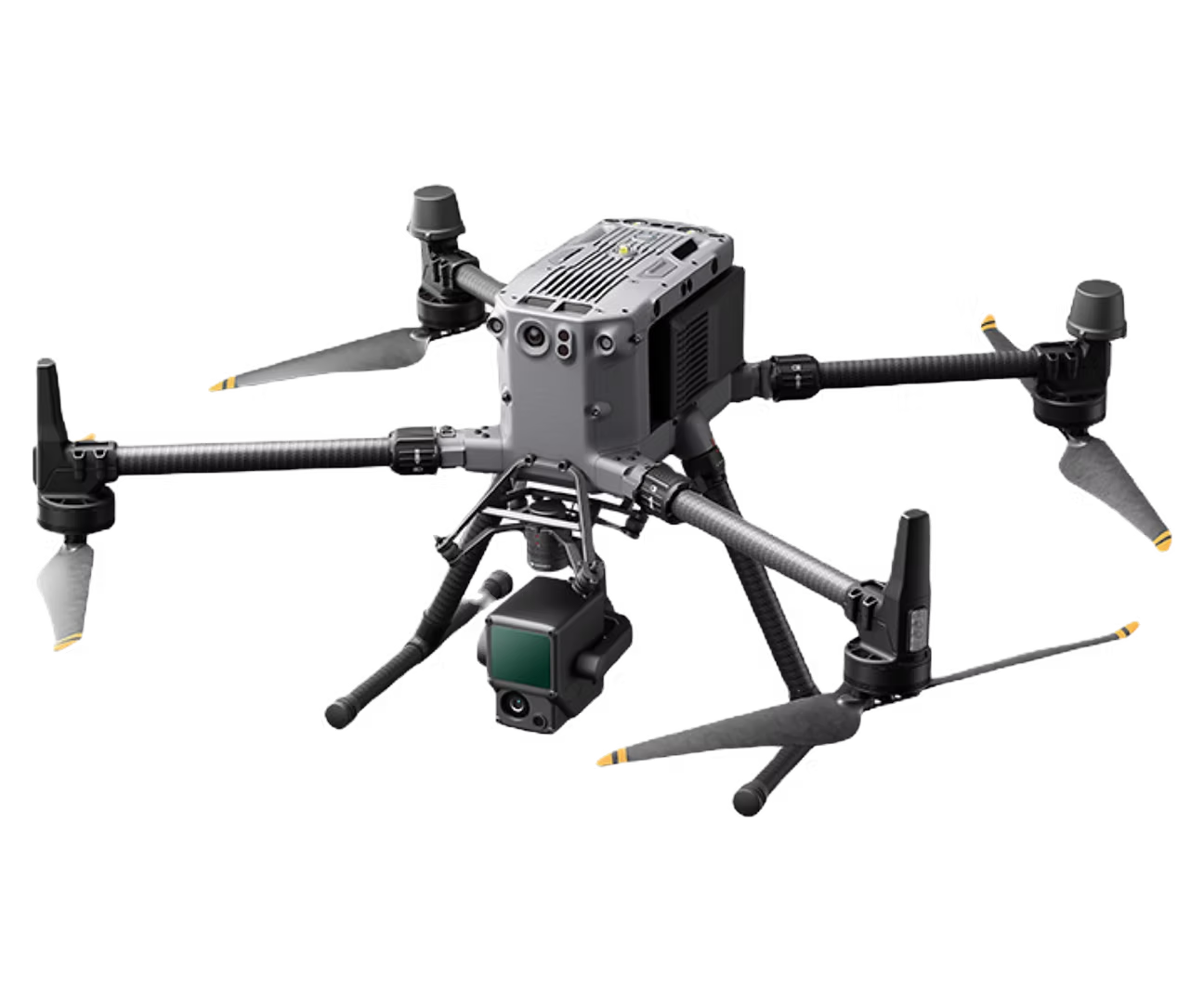
Our fleet of UAVs and robotic systems is equipped with cutting-edge sensors that perform inspections, mapping, surveying and data collection with unmatched accuracy — safely, and without disrupting your operations.
From above the canopy to below the waterline — and even underground — we match the payload to the problem.
Aerial LiDAR captures millions of precise elevation points — even through vegetation — producing survey-grade terrain models, contours and point clouds. Ideal for land development, road and drainage design, volumetric calculations and slope stability analysis, delivered in the formats your engineers and designers actually use.
Radiometric thermal sensors reveal what the eye can't: overheating electrical components, failing solar cells, moisture intrusion in roofs and building envelopes, and heat loss in energy audits. Non-contact, non-disruptive, and safe — no ladders, lifts or shutdowns required.
Sonar-equipped platforms map what lies beneath lakes, rivers, harbours and retention ponds. Accurate depth models support dredging plans, shoreline engineering, environmental assessments and marine infrastructure projects across Atlantic Canada's working coastline.
GPR sees below the surface — locating utilities, rebar, voids and buried structures before you dig. Subsurface investigation reduces risk on excavation, foundation and rehabilitation projects, and pairs naturally with our surveying and engineering services.
High-resolution measurements with consistent precision — eliminating human error and enabling real-time analysis in challenging environments.
Critical inspections and data collection performed remotely and risk-free — no one enters hazardous environments.
Land, air and confined spaces — reliable performance and accurate data collection across diverse conditions.
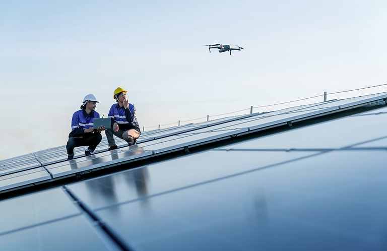
At DATCO, we combine engineering expertise with cutting-edge drone technology to manage assets across industries — from bridges, high-rise buildings and hydroelectric dams to power lines, solar farms and wind turbines.
Aerial surveys, thermal imaging and 3D modelling ensure the optimal performance, safety and longevity of your assets — with visual, LiDAR and thermal data collected without disrupting ongoing operations.
Power line corridors, substations, solar farms and wind turbines inspected in a fraction of the time of rope or bucket-truck access. Thermal anomaly detection identifies failing components before they fail — keeping the grid reliable and crews out of harm's way.
Close-visual inspection of bridge decks, bearings, piers and high structures without lane closures or scaffolding. High-resolution imagery and 3D models document defects over time, supporting maintenance planning and structural assessments by our engineering team.
Roof condition surveys, building envelope and façade inspections, and moisture detection for high-rises, commercial facilities and institutions — completed safely from the air with photo-documented, engineer-ready reporting.
Wharves, breakwaters, dams and shoreline assets inspected above and below the waterline with aerial imagery and bathymetric mapping — purpose-built for Atlantic Canada's coastal infrastructure.
We hand off in the formats your design team already works in — georeferenced, documented, and ready to drop straight into your drawing set.
| Horizontal accuracy | 2–5 cm on RTK/PPK-controlled flights with established ground control. Tighter tolerances available on request where the site and control network allow. |
|---|---|
| Vertical accuracy | 3–8 cm on photogrammetric surface models; LiDAR-derived bare-earth surfaces achieve tighter vertical tolerances under vegetation. |
| Imagery resolution | Typically 1–3 cm ground sample distance, flown to suit the deliverable — finer GSD available for close-visual inspection work. |
| Coordinate systems | NAD83(CSRS) with UTM or provincial grid projections, CGVD2013 orthometric heights, or your project's local site calibration — specify at scoping and we deliver on it. |
| Typical turnaround | Preliminary imagery within 48 hours of the flight; processed survey deliverables generally 5–10 business days depending on site size and scope. Rush handling available. |
| Reporting | Every engagement includes a flight and control report documenting equipment, method, control points and achieved accuracy — so your results are defensible. |
Need something else? If your workflow expects a format that isn't listed, ask — it's usually a processing setting, not a problem.
On open sites of any real size, aerial capture is dramatically faster in the field — a survey that takes a two-person crew several days on the ground is often a single flight day. You save on field time and on the schedule delay that field time creates. On small or heavily obstructed sites, conventional methods can still win, and we will tell you so rather than sell you a flight you don't need.
Yes — our operations are conducted under Transport Canada RPAS rules, which includes obtaining the necessary authorizations for controlled airspace. Halifax and the surrounding region has a good deal of it, so this comes up constantly and we handle the coordination as part of the job. Lead time varies with the authorization required, so tell us the location early.
Almost never. Collecting visual, LiDAR and thermal data from the air is what lets inspections happen without disrupting ongoing operations — no scaffolding, no lane closures, no lifts, no confined-space entry. We coordinate with your site supervision on exclusion areas and timing so production keeps running.
This is Atlantic Canada, so we plan for it. We monitor conditions against the tolerances the deliverable requires — wind, precipitation, cloud ceiling and, for thermal work, solar loading — and we build weather windows into the schedule rather than promising a date we can't fly. Being local means a stand-down usually costs you days, not a re-mobilization from another province.
Yes, and it's usually the better approach. If you have established control, a site calibration or an existing base drawing, send it at scoping and we'll tie our capture into it so the new data lands in the same coordinate space as everything else on your project. If you don't have control, we'll establish it.