Construction layout, topographic and as-built survey, and 3D laser scanning — delivered by crews we run ourselves, in the coordinate system your project already works in.
Construction survey isn't a single deliverable — it's a relationship that runs the length of a build. We establish control at the start, stake the work as it proceeds, measure quantities for progress claims, and produce the as-built record at the end.
Because our engineering and design teams sit alongside the survey crews, what comes out of the field lands directly in the drawing set. No handoff between firms, no re-survey because the first scope missed something, and no waiting on a subcontractor's calendar to get a crew back on site.
Survey-grade control on established networks, and every deliverable ships with a control report stating the method, the equipment and the tolerance actually achieved — so your numbers are defensible.
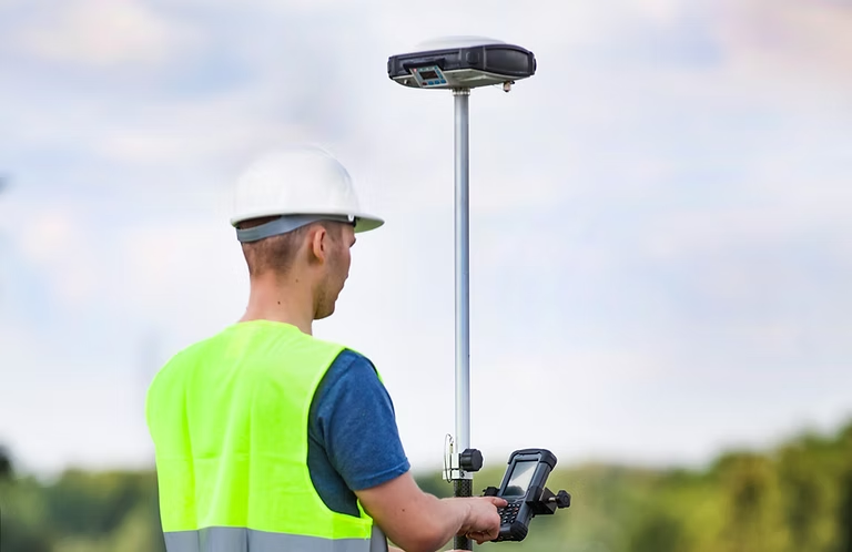
RTK GNSS rovers, robotic total stations, terrestrial laser scanners and UAV platforms. We match the instrument to the site and the tolerance, not to whatever happened to be in the truck.
One crew for a lot survey, several for a corridor or a live construction site. We scale to your schedule rather than asking the schedule to wait for us.
Terrestrial scanning is a different tool from aerial LiDAR — it works indoors, under structures and at close range, capturing vertical surfaces that no aircraft can see properly.
Buildings, plant and structures where the drawings are missing, superseded or were never right in the first place. This is routine work on renovation and adaptive-reuse projects in Halifax's older building stock, where the original set either doesn't exist or stopped matching reality decades ago. You get a dimensionally accurate model instead of a tape measure and an assumption.
Scan the same asset at intervals and compare the point clouds directly. Slopes, cut faces, retaining structures, embankments and wharves all move, and comparing dense clouds surfaces movement long before it shows up as a crack or a settlement complaint.
Complex geometry, ornate facades and heritage structures documented to millimetre detail without touching them or erecting scaffolding — useful for restoration scoping, insurance records and structural assessment.
Compare as-built site conditions against the design model before fabrication or installation. Finding the conflict on a screen is considerably cheaper than finding it with a crane on site.
Field data reaches you in the format your design team already works in, tied to your project's coordinate system.
| Construction layout | Staked to design coordinates with the offsets, cut/fill and grade marks your contractor works from. Stakes labelled to your convention, not ours. |
|---|---|
| Survey control | Project control established and verified to survey grade, with a closure report. Existing control checked before we build on it. |
| Topographic detail | Feature and surface capture at the density the deliverable requires — tighter around structures and services, looser across open ground, agreed at scoping. |
| Scanning | Registered point clouds with per-scan registration reporting. Density set to the deliverable, from general as-built through to fine structural detail. |
| Coordinate systems | NAD83(CSRS) with UTM or MTM projections, CGVD2013 orthometric heights, or your project's local site calibration. Specify at scoping and we deliver on it. |
| Reporting | Every engagement includes a field report documenting equipment, method, control used and achieved tolerance. |
Cadastral and legal boundary work in Nova Scotia must be carried out under the seal of a Nova Scotia Land Surveyor. We deliver engineering, construction, topographic and as-built survey directly. Where your project also needs a legal boundary or subdivision plan, we coordinate that with a licensed NSLS and fold it into the same scope — so the survey, the design and the approvals still come from one relationship.
For most of mainland Nova Scotia we're within a couple of hours' drive, which means mobilisation is usually measured in days rather than weeks and a re-visit doesn't blow up your budget. Live construction sites that need repeat layout visits are scheduled as standing work rather than booked job by job.
NAD83(CSRS) with UTM or MTM projections and CGVD2013 heights covers most projects. If your site runs on a local calibration, a project grid or a legacy datum, send it at scoping and we'll tie into it — matching the coordinate space everything else on your project already uses is the whole point.
Aerial LiDAR covers ground fast and sees terrain under vegetation, so it wins on corridors, large sites and topography. Terrestrial scanning works close-range, indoors and under structures, capturing vertical faces in detail an aircraft can't. Plenty of projects want both, and since we run both you're not choosing based on which one your vendor happens to own.
Yes, and it's usually the better approach. Send your control, site calibration or base drawing at scoping and we'll verify it and tie into it. If the existing control turns out to be unreliable we'll tell you before we build a survey on top of it.
Yes. Volume and quantity calculations from survey or scan data, with the surfaces and the method documented so the numbers hold up when the quantity gets disputed — which, on earthworks, it eventually does.